
In April 2021, Blake and I set off to find the remnants of a plane crash from the 1960s. We found an article from the 1990s that gave approximate coordinates some landmarks to look out for. The article also stated the plane could be really hard to find and it is best to go with someone who has been before. We went ahead and gave it a go and we found the plane. When we went, it was fairly easy to see the plan due to no undergrowth. We wanted to take the kids to see it as we felt they would really enjoy exploring and learning the history of the crash.
History
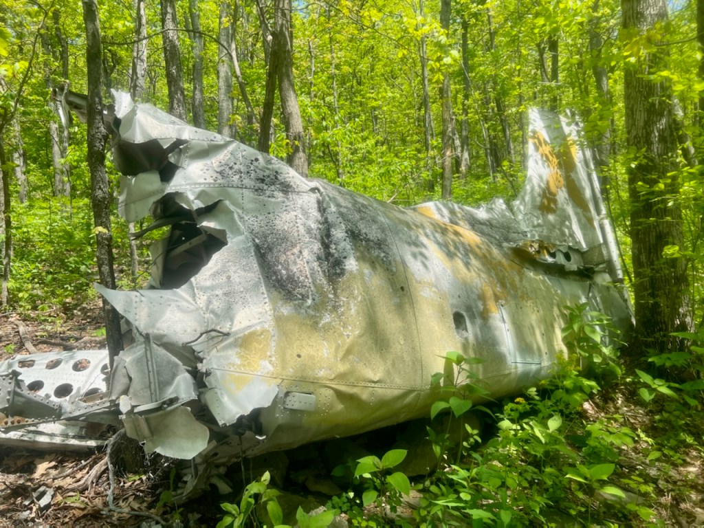
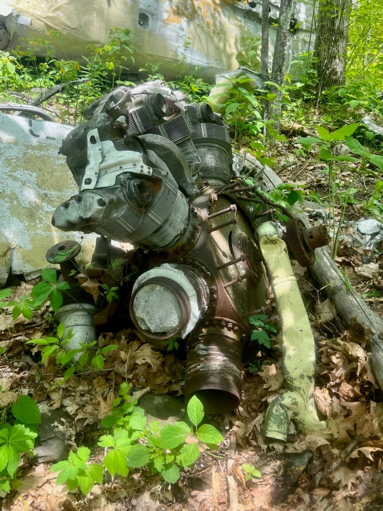
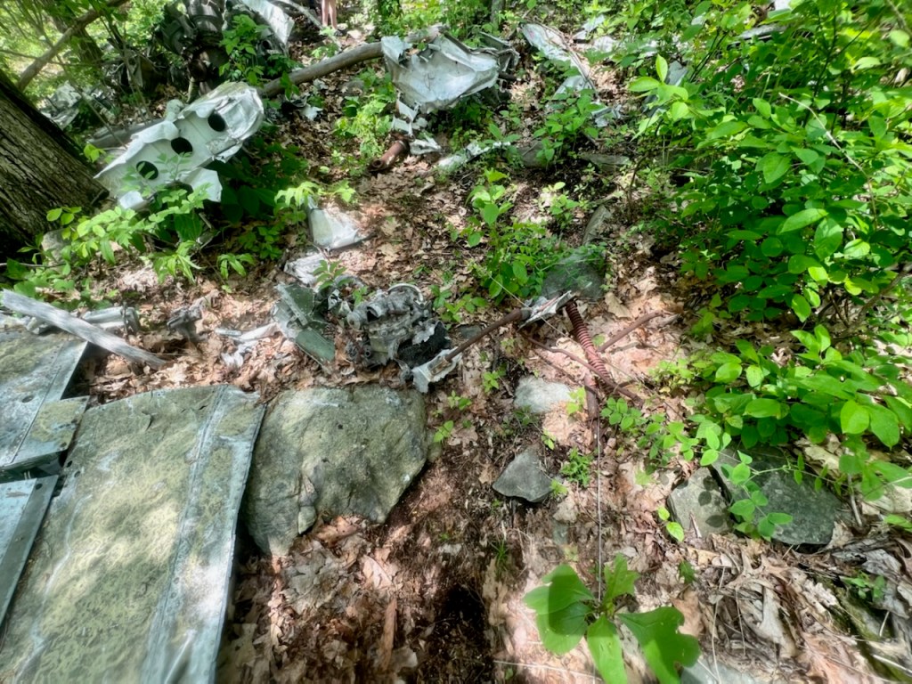
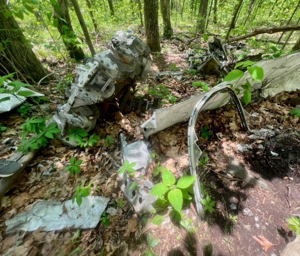
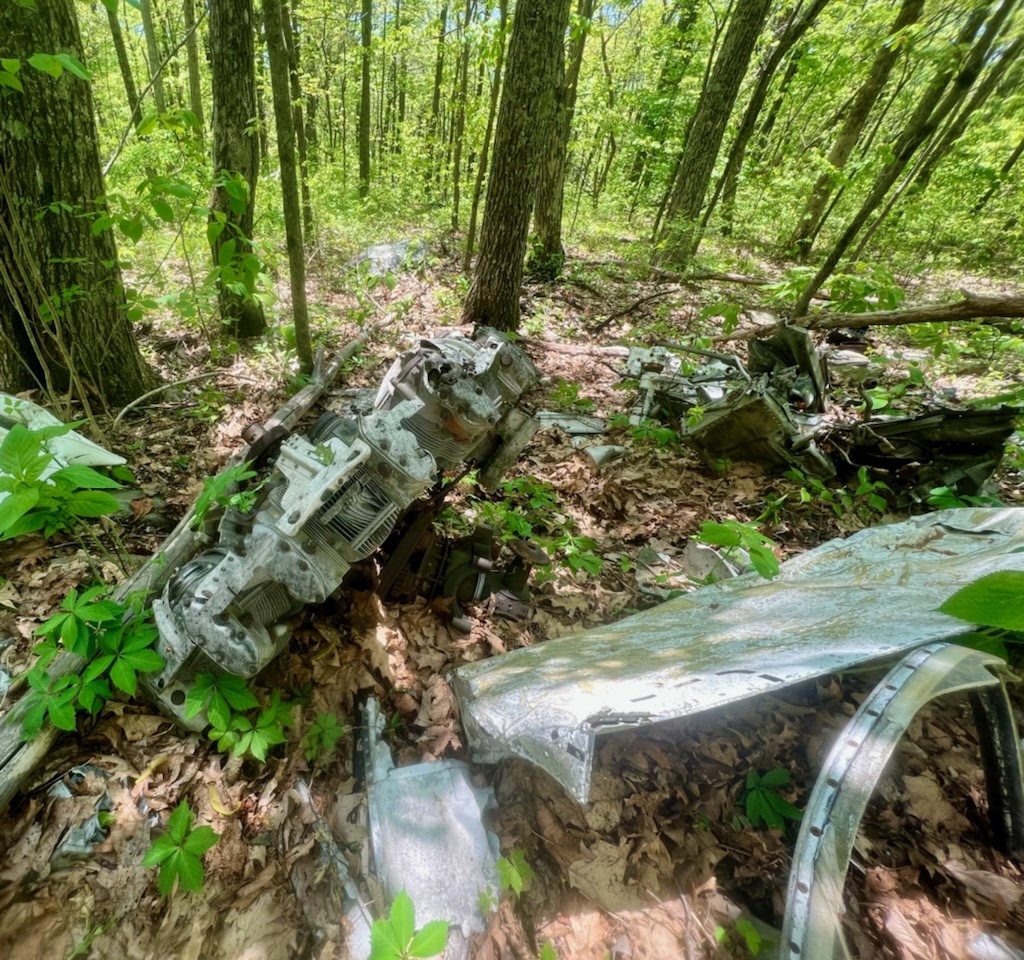
Around sunset on May 1, 1964, Colonel Robert L. Bryson crashed in his military T-28 on the side of Humpback Rocks located off of the Blue Ridge Parkway. Colonel Bryson’s flight companion that day was Colonel Joe Warren and the two were headed to Tennessee when the plane crashed in the mountains. Dusk was coming in and that is when the plane lost oil pressure 7000-8000 over a cloud deck above the mountains. Knowing they needed to bail, the plane (a trainer for the military) was not equipped with ejection seats. The two stood up in their seats and rolled out, hoping not to get hit by the tail. Colonel Warren landed near Rockfish Valley and Colonel Bryson landed near Greenfield. Col. Bryson walked to a nearby house and later met back up with Col. Warren in Lovingston. Neither Colonel Bryson or Colonel Warren ever made it back to the crash site. A year later, Colonel Warren disappeared during a crabbing expedition out of SC a day before his daughter was to marry. Colonel Warren and his future son-in-law got caught in a swell and disappeared.
Hike
- Location: Blue Ridge Parkway – Humpback Rocks Picnic Area – Lyndhurst, VA
- Distance: 3.66 miles
- Trail Type: Out and Back
- Elevation Gain: 774 feet
- Terrain: Dirt, Rocks, Rooty, Brush
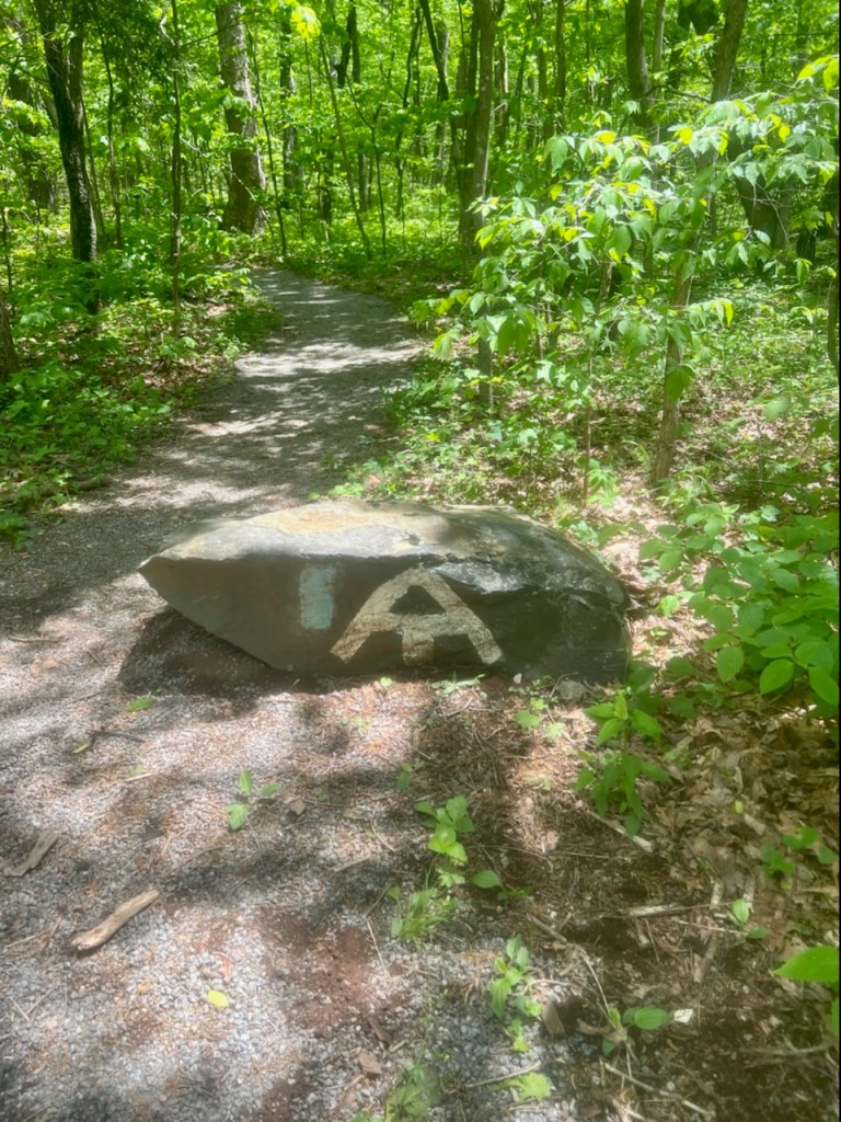
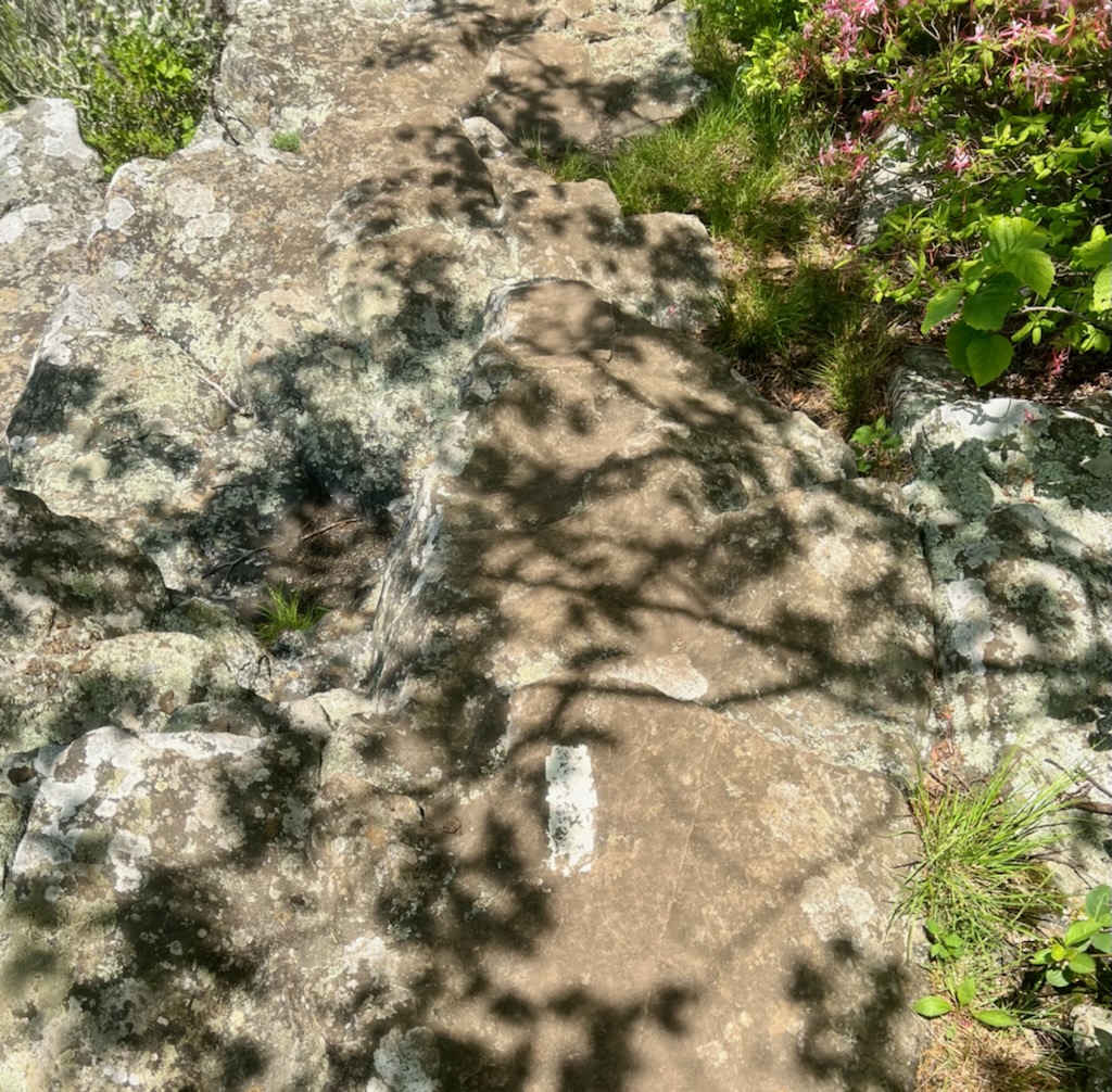
- Trail: 0.3 mile spur trail leading to the AT (Appalachian Trail). Turn left onto the AT and continue to the coordinates of the plane crash
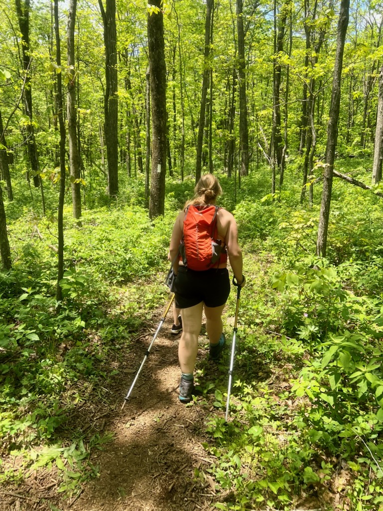
We began our hike towards the back of Humpback Rocks Picnic area. There is a rock at the beginning of the trail indicating that is the correct trail to the AT. Approximately 0.3 miles in length.
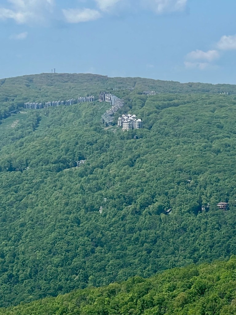
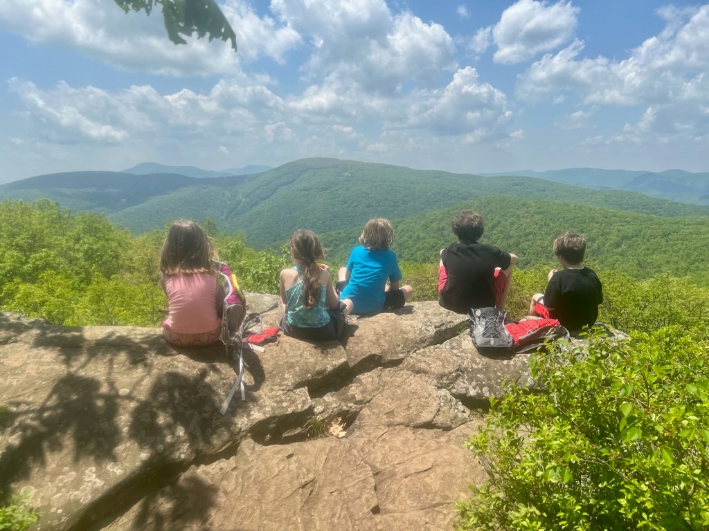
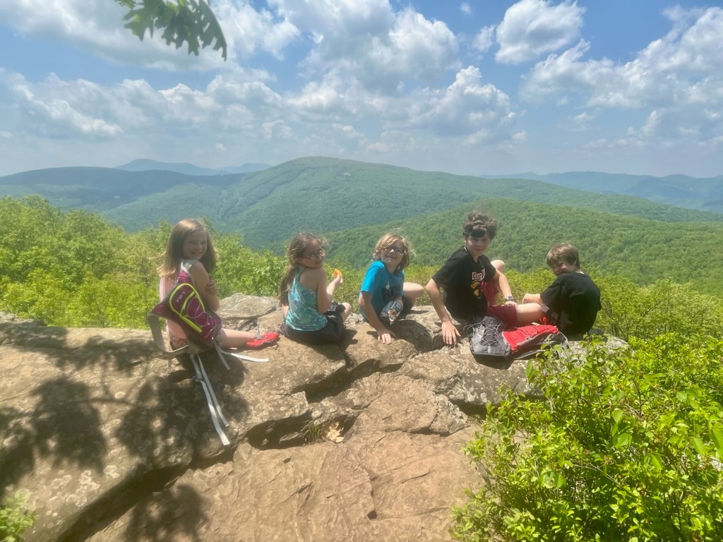
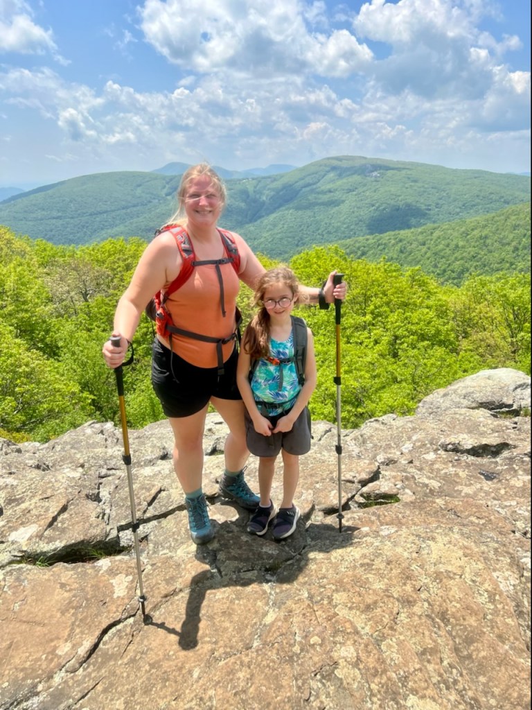
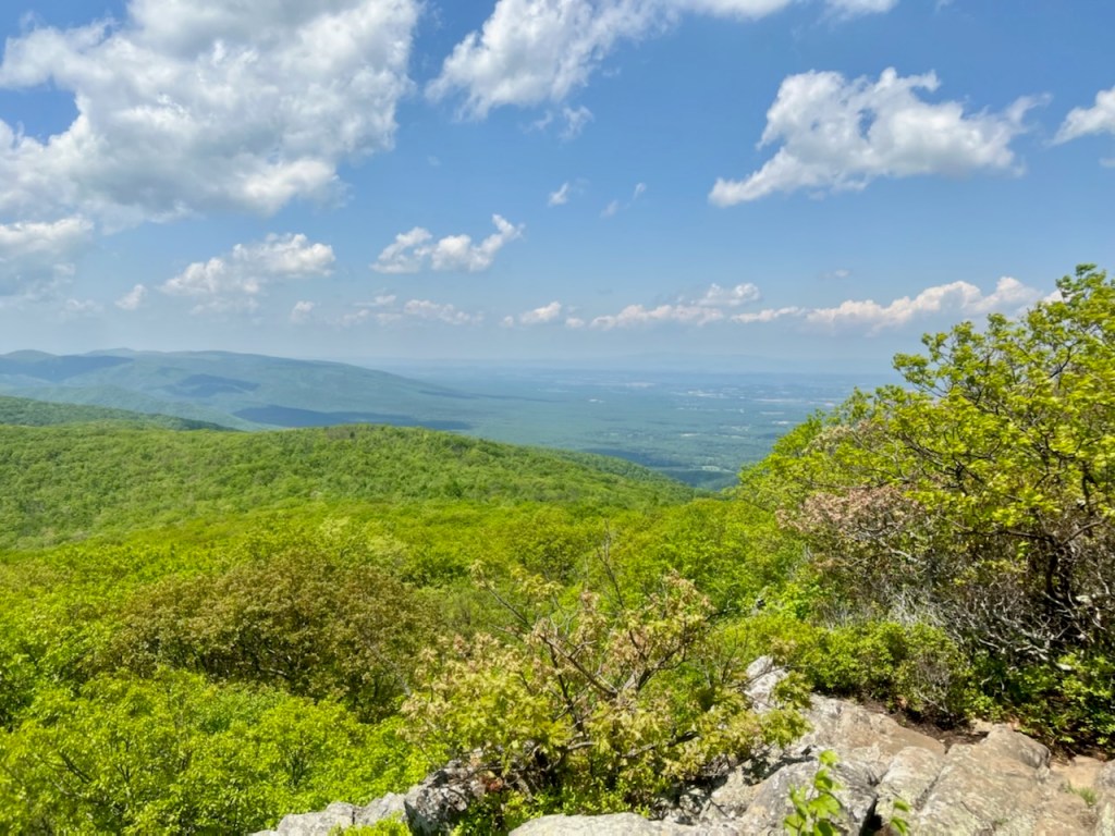
Once we connected to the AT, we turned left and continued our way to Battery Cliffs. Battery Cliff’s is a crop out along the trail that overlooks Wintergreen Resort.
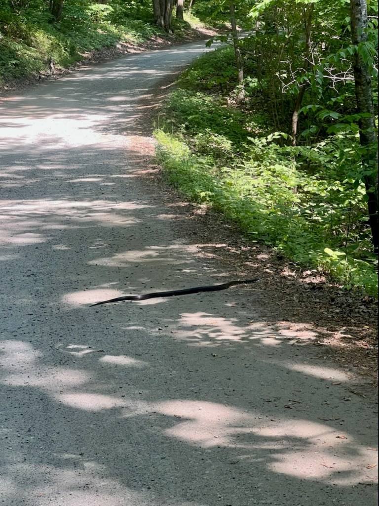
Before reaching Battery Cliff’s we encountered our first snake of the day.


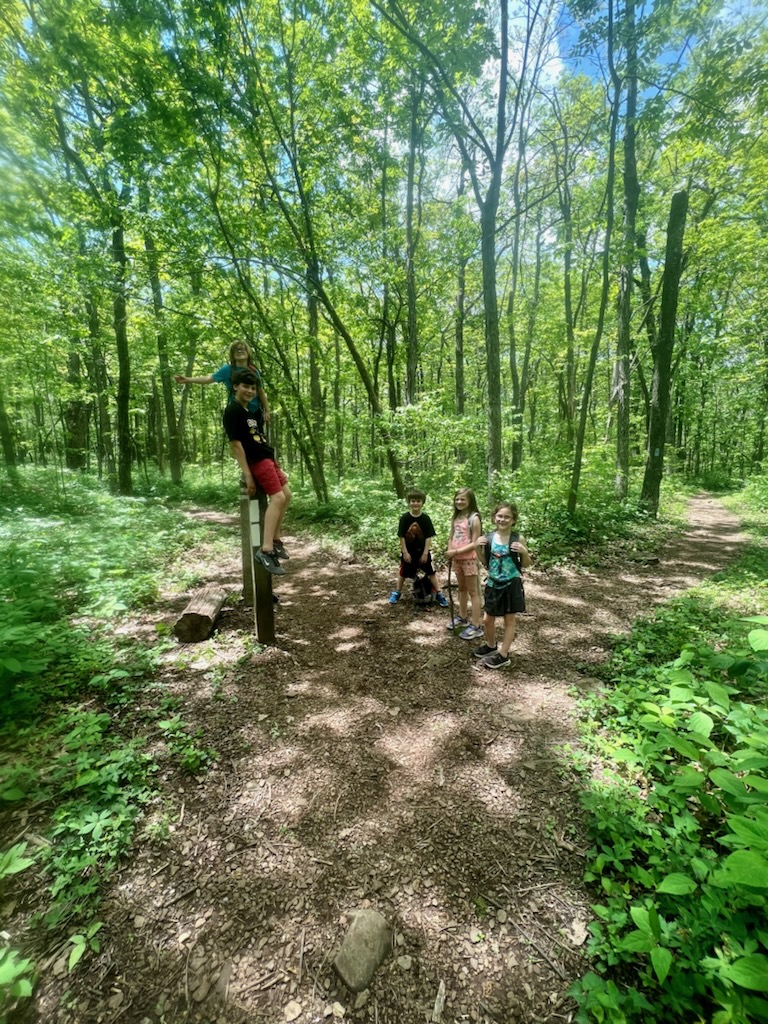
The boys are such the explorers and they found a small cave and hid in it to attempt to Scare Blake and I.


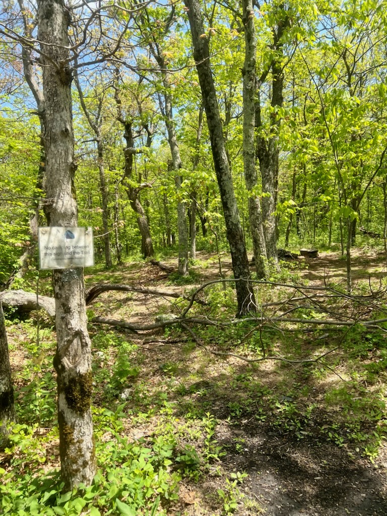
We found a camping area that we made note of for the future.
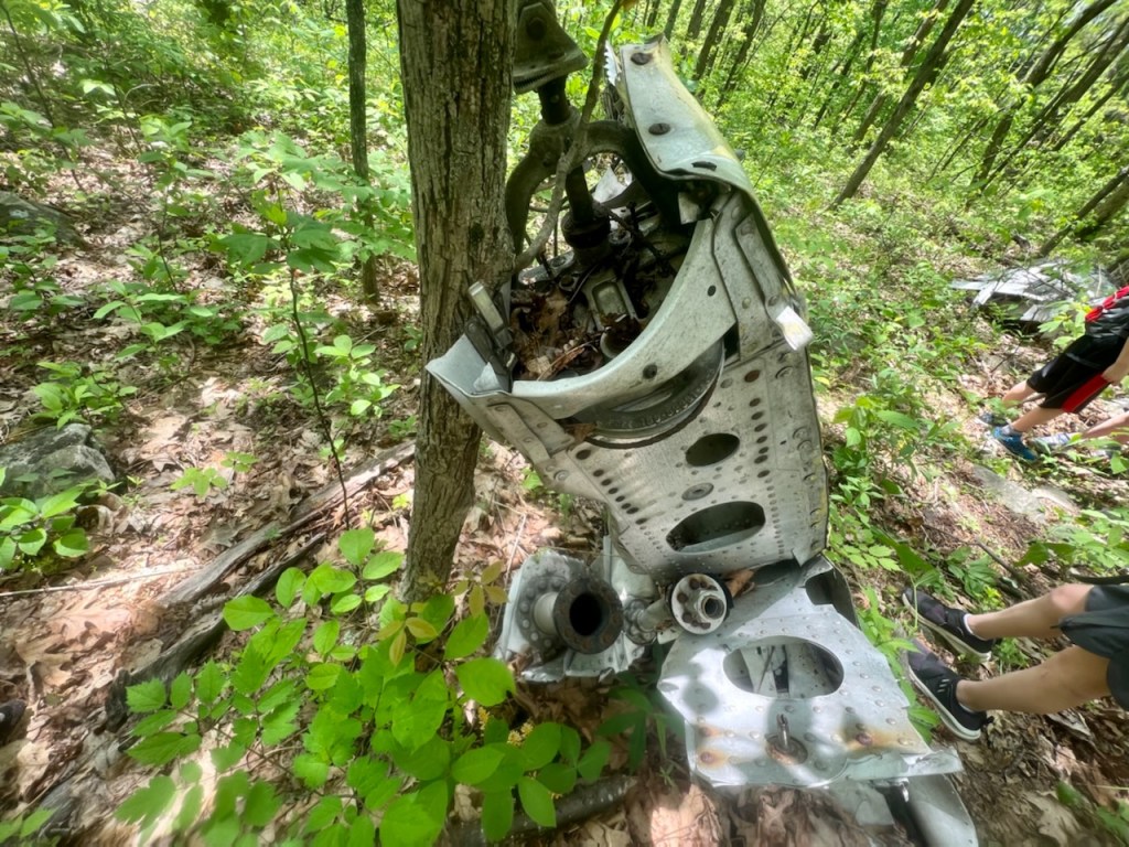
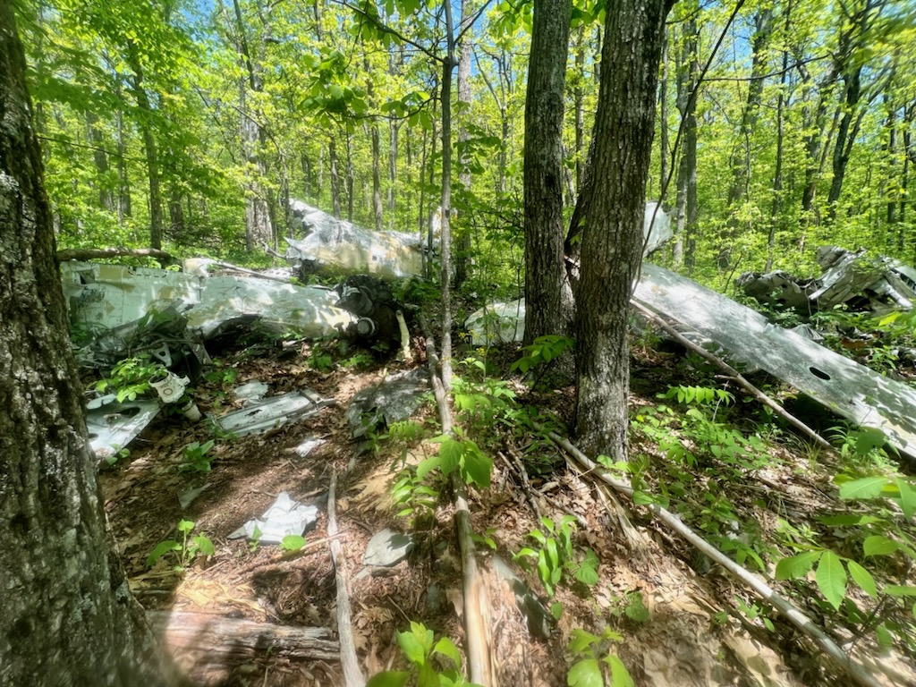
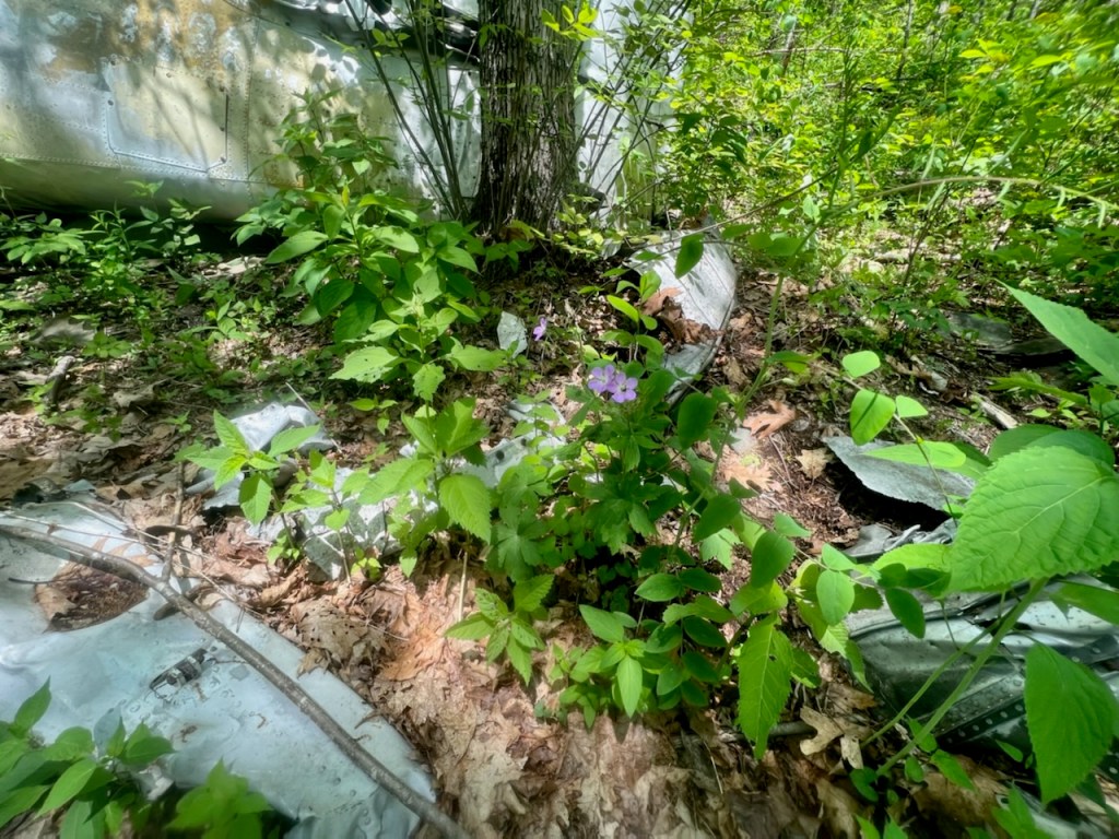
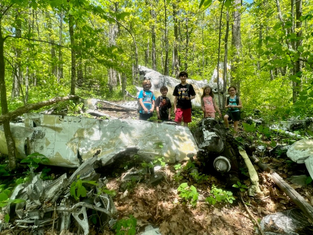
About 1/2 mile from Battery Cliffs is the location of the plane crash. The plane crash is located a couple hundred yards from the trail and from the trail, hikers are not able to see the plane especially during the spring and summer.
Thankfully since Blake and I found the crash site before we had the map to follow on our AllTrails App.
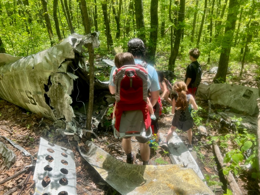
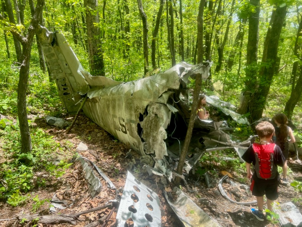
The kids were hiking ahead of us an they stopped to wait just past our turn. We hiked down to the crash site and the kids were in awe. This time it was hard to see them plane until we were super close to it. We explored the crash site for about 30 minutes and tried to answer as many of the kids questions that we could.


It was a bit of a hike out from the crash site but well worth it. (I say this as I had to stop a few times coming up the mountain).
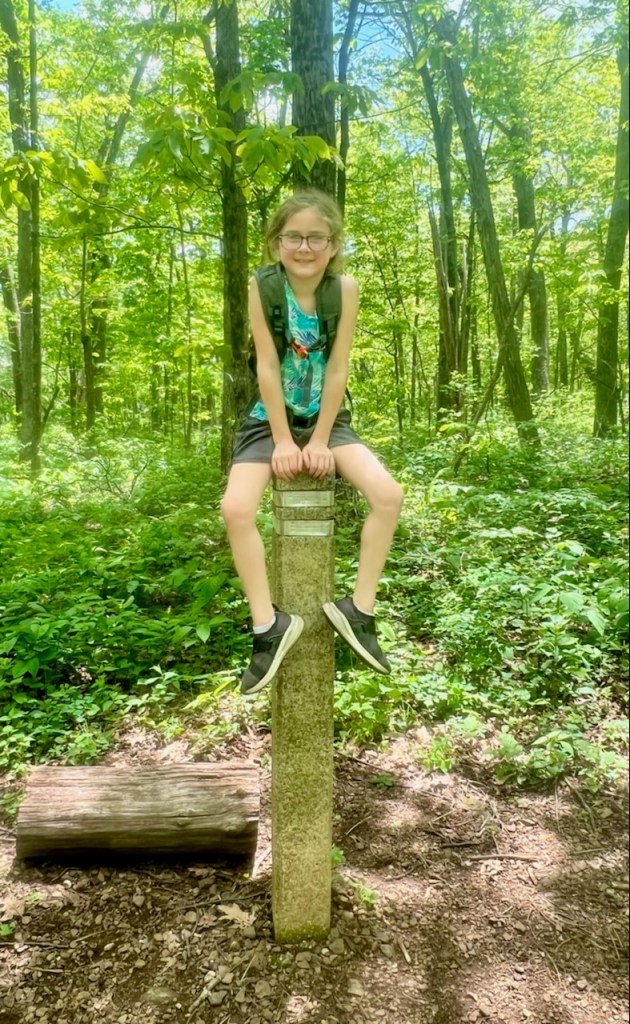
We make a stop back at the cliffs before heading back to the parking lot and got some pictures of the kids.
Taylor fell asleep….

During our hike we passed a total of 10 through hikers. These hikers are attempting the entire AT. It is always fun to chat with them and they typically stop us and chat for a short break. We talked to a group of 3 and I snapped a picture of Taylor and her awesome hiking hair.

We found a really cool tree while hiking out.

Again the kids had hiked ahead and waited for us at the turn to get back to the parking lot.


Once we finished the hike, we had lunch at the picnic tables and then Blake and I came up with some options of things to do.
We decided on Sugar Hallow Reservoir.
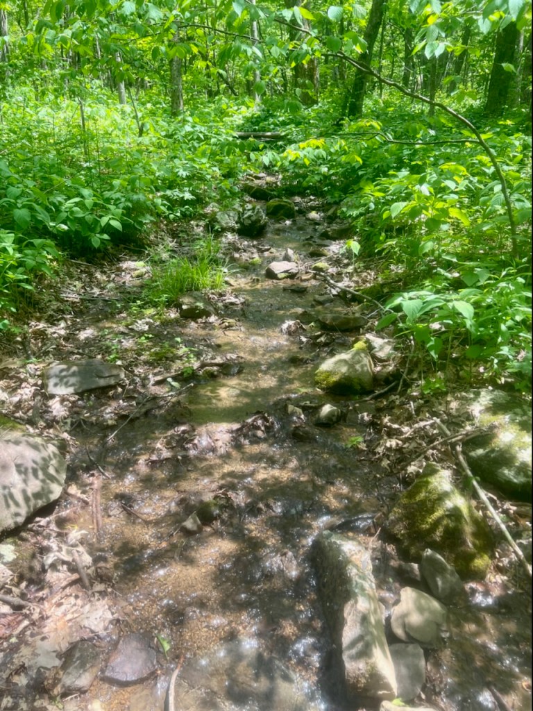
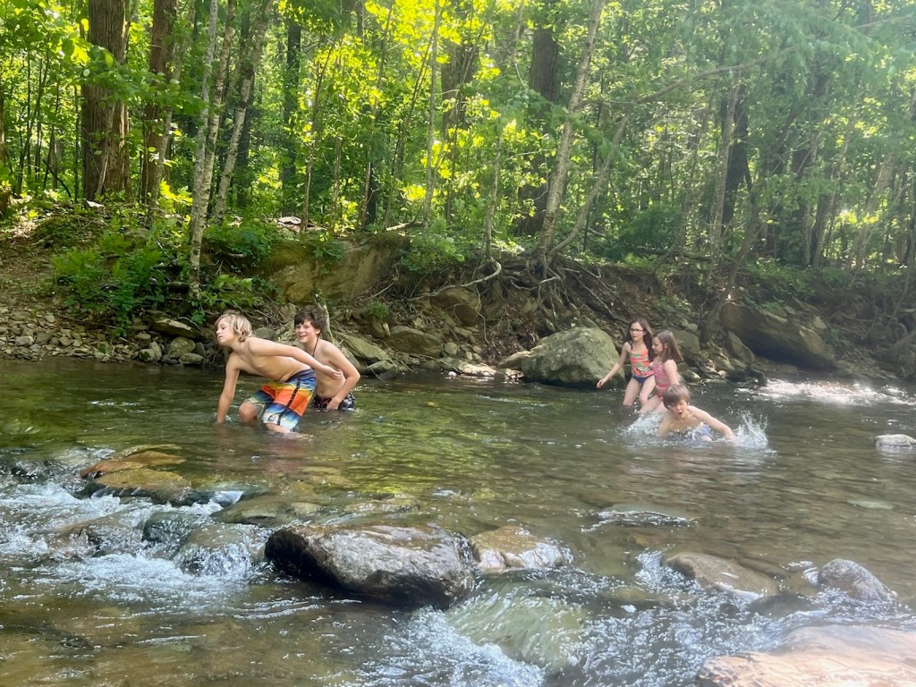
Blake and I have done a hike from the parking lot of Sugar Hallow Reservoir before and we were told there was a large swimming hole nearby with a rope swing and we have talked about bringing the kids there. We decided since we had time, we could scope out the area. Come to find out this swimming hole is a 1.5 mile hike from the parking lot. We did not have time today to do the hike and let the kids play in the creek instead.


We did see some pretty cool toad eggs in the creek.

We saw another snake as soon as we left the parking lot.
We had a great trip to the mountains, hiking to the plane crash and playing in the creek!
